Located in the Belgian North Sea within the Habitat Directive area of Vlaamse Banken, this demo site is designated for the protection of sandbanks and gravel bed habitats. Covering habitat types 1110 (sandbanks permanently covered by shallow water) and 1170 (Lanice conchilega aggregations and gravel beds), the area combines historical and recent data to reveal key habitat zones, including no-fishing areas and natural gravel beds.
Ecosystem characteristics
Average wind speed: 9.6 m/s (WSW)
Water depth: 15–37 m
Wave height: up to 11.2 m
The project’s biological value map integrates macrobenthos, epibenthos, demersal fish, and biogenic reefs, offering a high-resolution overview of the ecosystem’s richness across the area.
Challenges
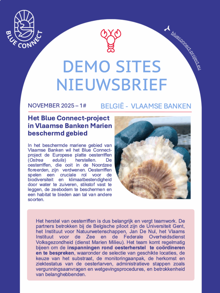
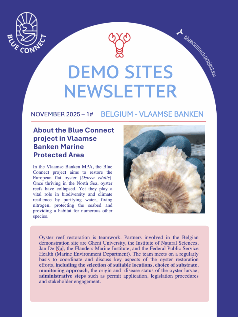
The European native oyster reef ecosystem type is collapsed. This has far-reaching implications for conservation policy and action, and shows that the scale of current restoration efforts fall far short of what is necessary for ecosystem recovery causing limited larvae production and substrate.
Technical feasibility of upscaling active oyster restoration: Small-scale projects come along with a high handling-transport-installation cost; this makes them unsuitable for upscaling, which is however necessary for effective & efficient oyster reef restoration.
Insufficient connectivity and coherence of MPAs.
Lack of involvement and responsibility from key maritime users in MPAs management.
No control by key authorities over maritime users in MPAs.
What will be demonstrated?
Active oyster reef restoration (O.edulis)
Stakeholder & citizen engagement
Activities to be carried out
Definition of exact site location
Oyster settlement on substrates
Handling + Transport
Vessel-loading
Storage and reef material installation at sea
Monitoring
Pressure & scoping analysis.
Facilitate stakeholder collaboration and citizen engagement in co-developing conservation objectives, measures, and monitoring.
Establish local working groups, empower communities, and raise awareness through interactive activities to build shared ownership and improve marine site management.