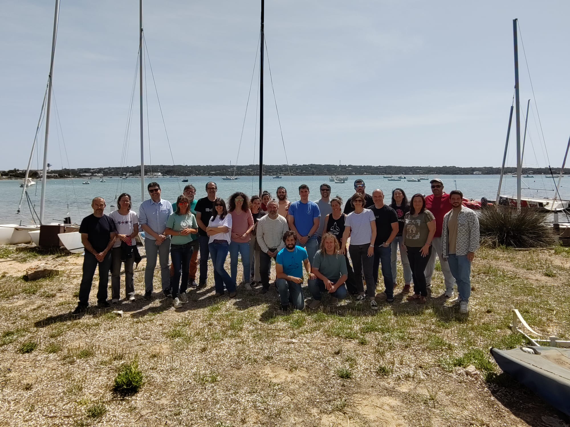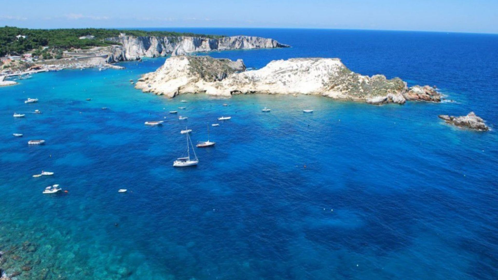
UDINE, Italy — The Northern Adriatic took a decisive step toward enhanced marine protection on 25 February 2026, when WWF Italy convened regional institutions, enforcement bodies, and marine experts for a workshop that set the tone for an ambitious year of monitoring and governance development. Held in Udine, the meeting brought together representatives from the Region of Friuli Venezia Giulia, Shoreline, and the Miramare Marine Protected Area, who collectively reviewed progress and helped shape the emerging protocol designed to assess human impacts on the Natura 2000 marine site.
During the session, WWF Italy presented the integrated methodology that will underpin the 2026 monitoring programme. The approach combines high‑resolution satellite imagery capable of detecting even small vessels without AIS/VMS, with AI‑powered vessel‑detection tools and targeted ROV surveys for detailed seabed assessment. Early satellite analysis—already nearing completion—has revealed significant potential for mapping maritime space use, offering the basis for the heat maps that will guide underwater inspections later this year.
The workshop quickly evolved into a collaborative working environment as stakeholders evaluated the preliminary results and provided critical insights into how the heat maps should be structured. Participants called for the inclusion of seasonal trends, vessel categories, and multi‑year layers, and highlighted the need for a detailed database on habitats and species that could support a broad range of monitoring and research efforts. The Region expressed strong interest in expanding the monitored area and exploring future applications of the protocol across additional coastal sites.
A key moment in the meeting came when conservation authorities jointly discussed the operational integration of satellite data and ROV deployment. The Carabinieri Diving Unit, drawing on field experience, helped identify priority indicators of seabed degradation—such as anchoring scars and abandoned fishing gear—while Miramare MPA contributed insights on habitat priorities within the protected zone. This exchange strengthened the practical relevance of the monitoring strategy and reinforced the collaborative nature of the initiative.
The conversation then shifted to governance, with WWF outlining how the monitoring results will support evidence‑based decision‑making later in the year. Stakeholders considered a range of possible measures, from awareness campaigns to sector‑specific working groups, but agreed that final decisions should be postponed until the full data set is available. The meeting also highlighted opportunities for replicating the protocol in other areas, including through future EMFAF funding and upcoming national vessel‑tracking requirements that will further enhance data availability from 2028 onward.
The workshop concluded with a shared roadmap assigning clear responsibilities and deadlines through the end of 2026. The atmosphere throughout the meeting was constructive and future‑oriented, marking it as a defining moment in the region’s effort to develop a modern, scalable, and collaborative framework for marine monitoring and governance. As the next phases of satellite analysis, ROV surveys, and seabed clean‑up activities unfold, the Northern Adriatic is positioning itself as a leading example of integrated marine conservation in Europe.